|
|
Post by Doyley on Mar 8, 2019 21:50:31 GMT -5
I think for matching purposes the OSM and lidar should be imported at the same time, so you will likely want to either pass over the lidar files for Cabot too, or wait until an import is done with OSM before passing it on. Doyley sent me the course file he made as well as the LiDAR, I'll be working starting tomorrow on the OSM. Thought I sent you cabot links? |
|
|
|
Post by jivesinator on Mar 8, 2019 22:24:30 GMT -5
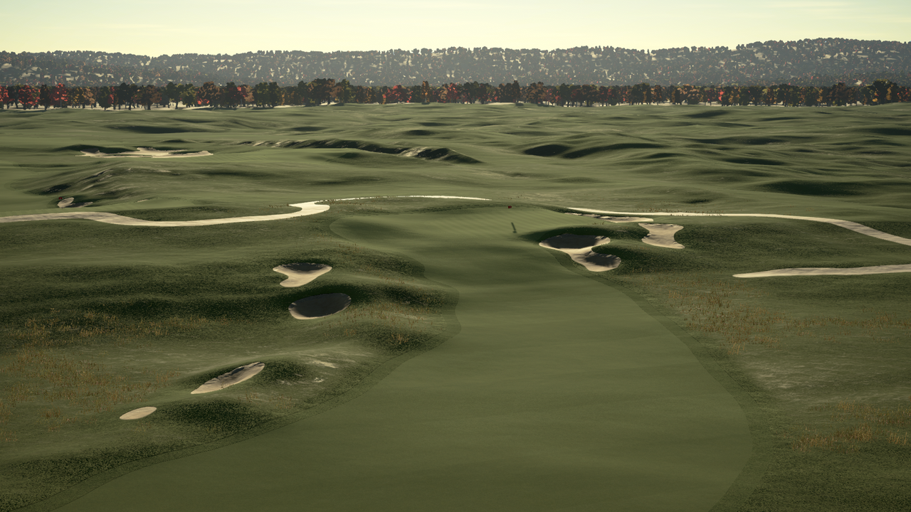
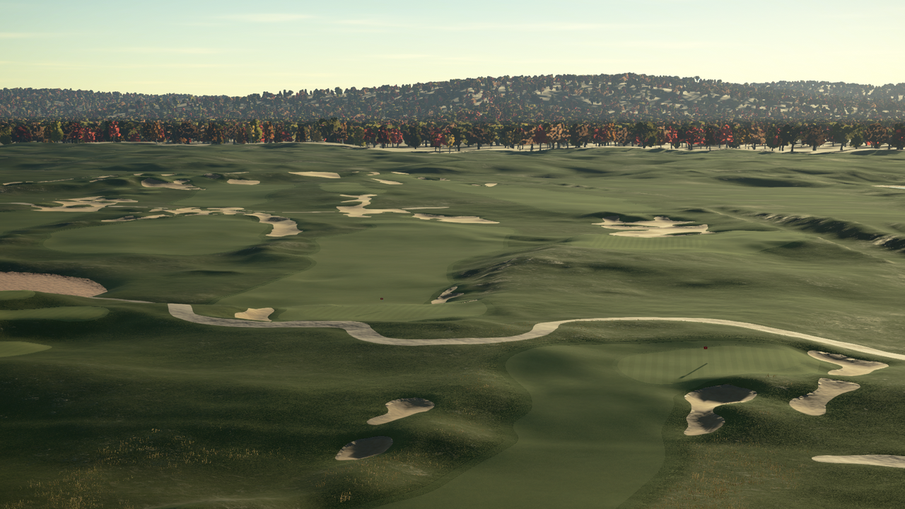
   Not bad for my first course ever!! I'm practically an RCR wizard now!! PS - if anyone wants the files for Cabot Cliffs let me know - this is about as far as I can take it haha! Gimmie. , I've got Cabot Links, I think Canuck wants Cabot Cliffs |
|
|
|
Post by jivesinator on Mar 8, 2019 23:21:49 GMT -5
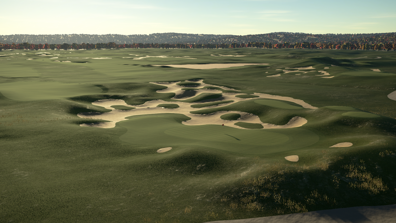
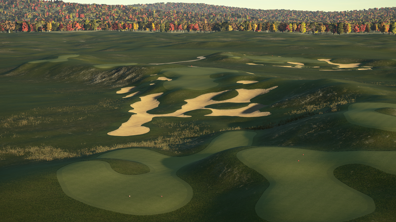
can you tell I'm having fun?? Cabot Links (just up the road from Cabot Cliffs - can see it in the distance)   Sorry no OSM data - just importing terrain to see what it looks like! Just put in a rudimentary coastline, working on the OSM starting tomorrow.  |
|
|
|
Post by jacobkessler on Mar 9, 2019 1:38:53 GMT -5
Doyley, any chance you can put these blank canvases you are making in a thread where people can see what tracks are available and claim them so we will know who is working on what? maybe a google sheet? Yea for sure - Probably something I can do Sunday night from work - want to do a LiDAR sheet so people here can claim courses they are working on so we don't unnecessarily double up. As for my tracks - Jives claimed Cabot Links. I have Sand Hills GC (w/ OSM) and Cabot Cliffs (no OSM) ready to hand off. Wonder if you could share this with others (like me) who are doing courses for others to use? Just a thought, as tbh a lot of the courses I trace will be kind of obscure. I do plan on mapping all of the top 100 in America, though. |
|
|
|
Post by NobleMan on Mar 9, 2019 8:57:48 GMT -5
Doyley, any chance you can put these blank canvases you are making in a thread where people can see what tracks are available and claim them so we will know who is working on what? maybe a google sheet? Yea for sure - Probably something I can do Sunday night from work - want to do a LiDAR sheet so people here can claim courses they are working on so we don't unnecessarily double up. As for my tracks - Jives claimed Cabot Links. I have Sand Hills GC (w/ OSM) and Cabot Cliffs (no OSM) ready to hand off. Mark me down for Merion Country Club Doyley.
|
|
|
|
Post by Doyley on Mar 9, 2019 10:03:04 GMT -5
once I do the sheet I'll make it public so anyone can update it
|
|
|
|
Post by lessangster on Mar 9, 2019 10:32:18 GMT -5
Anyone want to do an obscure English course called Bishop Auckland Golf Club I don’t care if the trees are not in exactly the right place as long as the topography of the course is ok. I would even be willing to pay for it. 😁
|
|
|
|
Post by NobleMan on Mar 9, 2019 11:07:55 GMT -5
Anyone want to do an obscure English course called Bishop Auckland Golf Club I don’t care if the trees are not in exactly the right place as long as the topography of the course is ok. I would even be willing to pay for it. 😁 Unfortuanately I don't think there is good lydar data outside of the USA. Anyone know? |
|
|
|
Post by jacobkessler on Mar 9, 2019 11:36:48 GMT -5
Anyone want to do an obscure English course called Bishop Auckland Golf Club I don’t care if the trees are not in exactly the right place as long as the topography of the course is ok. I would even be willing to pay for it. 😁 Unfortuanately I don't think there is good lydar data outside of the USA. Anyone know? I don’t know if it’s any good, but check this thread |
|
|
|
Post by mcbogga on Mar 9, 2019 12:12:08 GMT -5
Anyone want to do an obscure English course called Bishop Auckland Golf Club I don’t care if the trees are not in exactly the right place as long as the topography of the course is ok. I would even be willing to pay for it. 😁 Unfortuanately I don't think there is good lydar data outside of the USA. Anyone know? Sweden is fully mapped by a governmental agency, but the data is copyrighted and pay to play... Seems a bit backwards considering we are already paying pretty much the highest taxes in the world.... |
|
|
|
Post by theclv24 on Mar 9, 2019 22:10:49 GMT -5
The Dunes Club This was a tough trace in OSM, hard to see everything. Given that, super happy how this one came out! I have a number of projects, so willing to pass this off. It will require some research to get the tees right and set up for multiple ways to play the course, and the Pine Valley-like look will require some effort when planting, but in my spin around it looked awesome. I can provide some resources if anyone is interested. Oh, and with the small plot, it was very light on the object meter, maybe 10-15%.     |
|
|
|
Post by theclv24 on Mar 11, 2019 20:00:55 GMT -5
|
|
|
|
Post by bradleystuart on Mar 11, 2019 21:39:11 GMT -5
This is very interesting for sure. I see someone is already doing Pasatiempo...looks like we may have two.
|
|
|
|
Post by Doyley on Mar 11, 2019 22:31:26 GMT -5
This is very interesting for sure. I see someone is already doing Pasatiempo...looks like we may have two. Sheet started tonight that allows people to show which courses they are working in so we don't have this happen too often - reach out to Justin as I think he put it on backburner for a bit. Google sheet located in WIP and Completed LiDAR Courses section (same sheet, just put it in two places) |
|
|
|
Post by B.Smooth13 on Mar 12, 2019 7:03:49 GMT -5
This is very interesting for sure. I see someone is already doing Pasatiempo...looks like we may have two. Care to clarify? You already had a WIP, or you used the tool to import my OSM mapping and are refining that in game? |
|