|
|
Post by lessangster on Apr 24, 2020 16:43:53 GMT -5
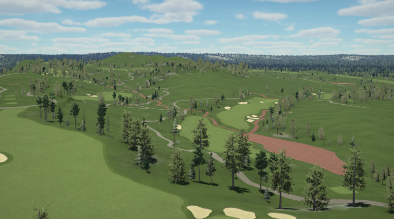
Well, I played the course at its current state for testing and I'm kind of disapointed... I mean LIDAR is perfect, the course is exact in elevation and so but in the game with master clubs it's not the same experience as playing the real course because holes are short and master clubs are very long. Me and my friends playing for fun with handicaps between 20 and 28, our distances are not that long, and we are playing yellow tees!!! In the game I set white tees.  For example hole 10, 460 meters (503 yards). I've reached that hole in regulation only a few times. Hole 1, 286 meters (312 yards) with master clubs green can be reached from the tee. I don't know, I think I won't keep working on this proyect. Or at least not as perfect as I would like to do it, just a few improvements like tees, greens, some bushes and trees (maybe cart path and houses) and that's it. I won't do details and so.
Thank you all! You could maybe see about adding a free extra long tees to your course but that would mean it’s not exactly the same course you imported. That’s happened with a UK course I’ve done but I’m not going to add extra tees. The real fault is with HB making the master clubs op on length not the course your designing. Where did you get your Lidar from for the Spanish courses if you don’t mind me asking |
|
Bullete
Weekend Golfer
 
 Teeing off
Posts: 101
Tour: CC-Pro
|
Post by Bullete on Apr 24, 2020 17:03:48 GMT -5
Well, I played the course at its current state for testing and I'm kind of disapointed... I mean LIDAR is perfect, the course is exact in elevation and so but in the game with master clubs it's not the same experience as playing the real course because holes are short and master clubs are very long. Me and my friends playing for fun with handicaps between 20 and 28, our distances are not that long, and we are playing yellow tees!!! In the game I set white tees.  For example hole 10, 460 meters (503 yards). I've reached that hole in regulation only a few times. Hole 1, 286 meters (312 yards) with master clubs green can be reached from the tee. I don't know, I think I won't keep working on this proyect. Or at least not as perfect as I would like to do it, just a few improvements like tees, greens, some bushes and trees (maybe cart path and houses) and that's it. I won't do details and so.
Thank you all! You could maybe see about adding a free extra long tees to your course but that would mean it’s not exactly the same course you imported. That’s happened with a UK course I’ve done but I’m not going to add extra tees. The real fault is with HB making the master clubs op on length not the course your designing. Where did you get your Lidar from for the Spanish courses if you don’t mind me asking
Thank you for your reply, I found out that there's an error with the distance as the LIDAR is in meters and the convertion to the game was in yards (1 meter is not the same as 1 yard). So the course in the game is 400 meters shorter that the real course. That could be the problem, I don't know.
LIDAR for Spain can be found here (official spanish goberment website, full Spain with LIDAR, impresive):
Some LIDAR maps are in EWC and ASC format so is not useful for the designer tool program. Choose "LIDAR 2ª Cobertura (2015-Actualidad)" and "LIDAR 1ª Cobertura (2008-2015)" when searching and you can get LAZ archives that are easily converted to LAS.
|
|
|
|
Post by lessangster on Apr 24, 2020 17:39:33 GMT -5
You could maybe see about adding a free extra long tees to your course but that would mean it’s not exactly the same course you imported. That’s happened with a UK course I’ve done but I’m not going to add extra tees. The real fault is with HB making the master clubs op on length not the course your designing. Where did you get your Lidar from for the Spanish courses if you don’t mind me asking
Thank you for your reply, I found out that there's an error with the distance as the LIDAR is in meters and the convertion to the game was in yards (1 meter is not the same as 1 yard). So the course in the game is 400 meters shorter that the real course. That could be the problem, I don't know.
LIDAR for Spain can be found here (official spanish goberment website, full Spain with LIDAR, impresive):
Some LIDAR maps are in EWC and ASC format so is not useful for the designer tool program. Choose "LIDAR 2ª Cobertura (2015-Actualidad)" and "LIDAR 1ª Cobertura (2008-2015)" when searching and you can get LAZ archives that are easily converted to LAS.
That might be the reason because of imperial and metric measurements didn’t think of that. |
|
|
|
Post by chadgolf on May 7, 2020 18:25:05 GMT -5
OSM wouldn’t match up if there’s a unit issue and there’s no lidar that’s in “yards”. It’s meters or US Surveyor Foot.
More than likely your course overstated their scorecard yardages to look longer than they are. TGC scorecard is also measured much differently than real life, it assumes if you can drive a green with the masters clubs that you will.
There was one case where the Maryland lidar source used the Mercator global projection that caused incorrect distances, but that’s one course out of thousands right now. Measure the holes on Google Maps or Google Earth and in game, check the water hazard locations too.
|
|
|
|
Post by BaconJunkie1 on Nov 5, 2021 15:47:22 GMT -5
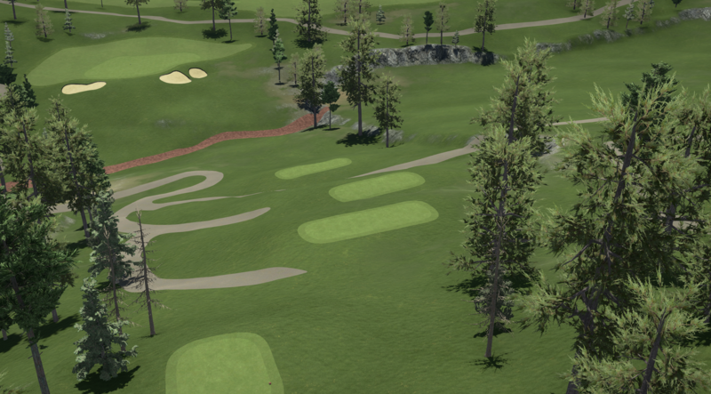
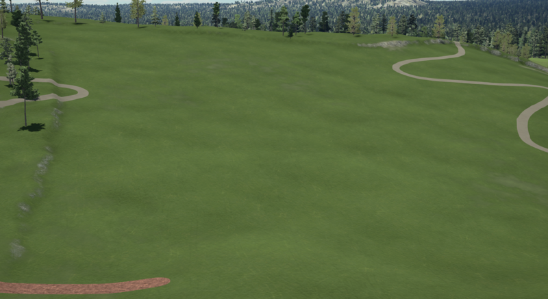
Alotian GC .... In the raw, it had some pretty severe ridges running through it where the LiDAR data was jacked up. 11 Green, 12 Fairway  #1 Green and 2 Tee  Looking down #6  Looking towards #2 Fairway  |
|
|
|
Post by slippymcdippy on Dec 7, 2022 8:42:45 GMT -5
ill take that file
|
|
|
|
Post by albinobluesheep on Jun 9, 2023 12:40:52 GMT -5
This isn't "untouched", but pretty close to it. Point Defiance Park, 760 acres (Central park is 843 for some reference)  Here's a google maps screen shot from a similar angle  I added a bunch of water elements after giving up trying to adjust the elevation in the Import so that the normal water level would be up to the natural shore line I then just did a super basic 18 hole routing to experiment with how much Yardage I had to play with. mostly along the edge of the cliff. I had to import this map maybe 5 times to get the full "Point" of the park, and as much of the full park as I could. Tragically, I was not able to include the very-well-mapped-in-OSM Point Defiance Zoo and Aquarium, as I would have 100% made that the "club house", but if I include the Tip, and the Zoo, the map is too big, and and Point would not get added to the LIDAR data. All the cart paths are the Road/Hiking Trails in the park. Because the LIDAR map is so huge, even when I do 100% tree-auto-fill it doesn't get anywhere near the fill in real life. When I used a spline-fill for the entire park, I had to keep it at "3/100" and even then it took up around 95% memory! So, instead, This is going to be a "highlands" themed links course. 1) so I don't have to worry about tree fill, and 2, so I don't have tree sticking up out of the water in the surrounding area....  Again, basic routing, just with some auto-gen'd bunkers/greens/fairways. I was actually spit-balling with my wife other locations that I could get the LIDAR data for that don't currently have golf courses, that "could" (even if they shouldn't), and had a few other ideas, including the info that back in 1931 there was a 9 hole 100% down-hill golf course on Mount Rainer for about 2 months! |
|
|
|
Post by albinobluesheep on Dec 29, 2023 21:27:31 GMT -5
I wager there is at least one person who know what course this is, thought I haven't seen it mentioned on this board yet  Name and google Satellite Image behind link Name and google Satellite Image behind link
This course was literally built in the last 2 years, so the Lidar data from 2019 wont have it, but there are a bunch of pictures of it around social media, and I'm curious to look at the land a bit (since someone was kind enough to OSM the greens |
|