|
|
Post by B.Smooth13 on Mar 8, 2019 8:40:57 GMT -5
This is a big issue at Pasatiempo, there's just way too much slope on those greens for the game to accept. My plan is to identify various sections of the greens which appear to be the "playable" areas (to the best of my ability), cross-reference whatever references I can find online about the greens as I would if I were building this without LIDAR, and then lightly smooth/raise/lower to get rid of the yellow/red in those areas. The goal is to have them playable (at medium speed, mind you) while still maintaining the integrity of the sculpting profile. Was this before or after the scale was corrected? Weren't your elevations originally like two or three times multiplied or something like that? I loaded in the corrected terrain from Chad's recommendations yesterday, and while they aren't as red as they were, there's still an absolute TON of sloping on some greens. Most of them barely have any "legal" playable 3x3 grid box areas, but I can still make out a lot of general contouring, so the challenge will just be to lessen the grade of slope in those areas so the game accepts it as playable. |
|
|
|
Post by gamesdecent on Mar 8, 2019 8:45:25 GMT -5
I might just shed a tear... The LIDAR tool seems to be getting the terrain spot on judging by those pictures. Does it add any surfaces or is that all done by the designer? Regarding the second course at Fisher's that we spoke of, I spent a while searching the quiet corners of the web hoping to come up with the routing that Bahto said he had, but haven't been able to find it thus far. I did find a post by Bahto himself on GCA that stated that he intended to release the information, so maybe it's hidden away somewhere online. I'll keep looking. But with that said, I think you have to stick with an RCR of Fisher's Island after the results of the LIDAR. The surfacing is imported from OpenStreetMap, which is open source, so anyone can go in and add golf features to any course and as long as the LIDAR data is accurate, it takes about 2-3 hours to map a course in OSM and then about 20-30 minutes to get it imported into the game. So a sculpted and surfaced RCR can be brought into the game in one night's work pretty much if the data is accurate. Obviously, there's a lot of touch up work to do, and planting and stuff, but the time to do a quality RCR has been reduced drastically. That flyover will definitely come in handy because there's a couple fairways and places on the course where I have a hard time believing the undulation is that severe, so I need to go through and double check everything once I get it touched up. I've never seen a picture of Raynor's second 18 routing, so I don't even know if it shows any golf features or if it's just lines mapping the direction of each hole, but if you come across it, that project would be next on my list. |
|
|
|
Post by jwfickett on Mar 8, 2019 14:02:50 GMT -5
Shoreacres The OSM is post-renovation and the lidar is pre-renovation, so some of the fairway edges, green edges, and bunkers need some TLC. It's nothing too difficult though. This course is filthy. I'm willing to part with this one if there are any Seth Raynor devotees on PC willing to give the course the love it deserves. Otherwise I'll get to it down the line. 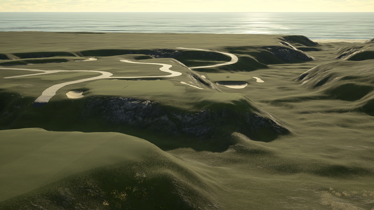  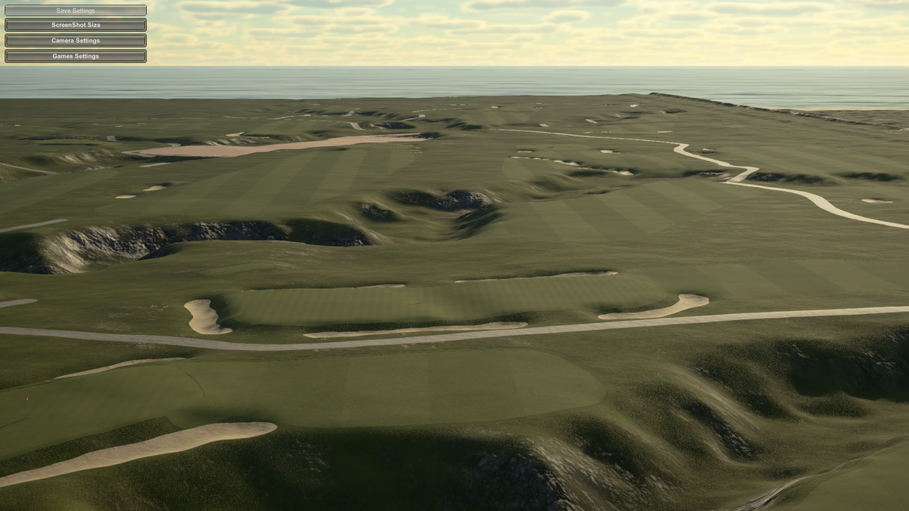 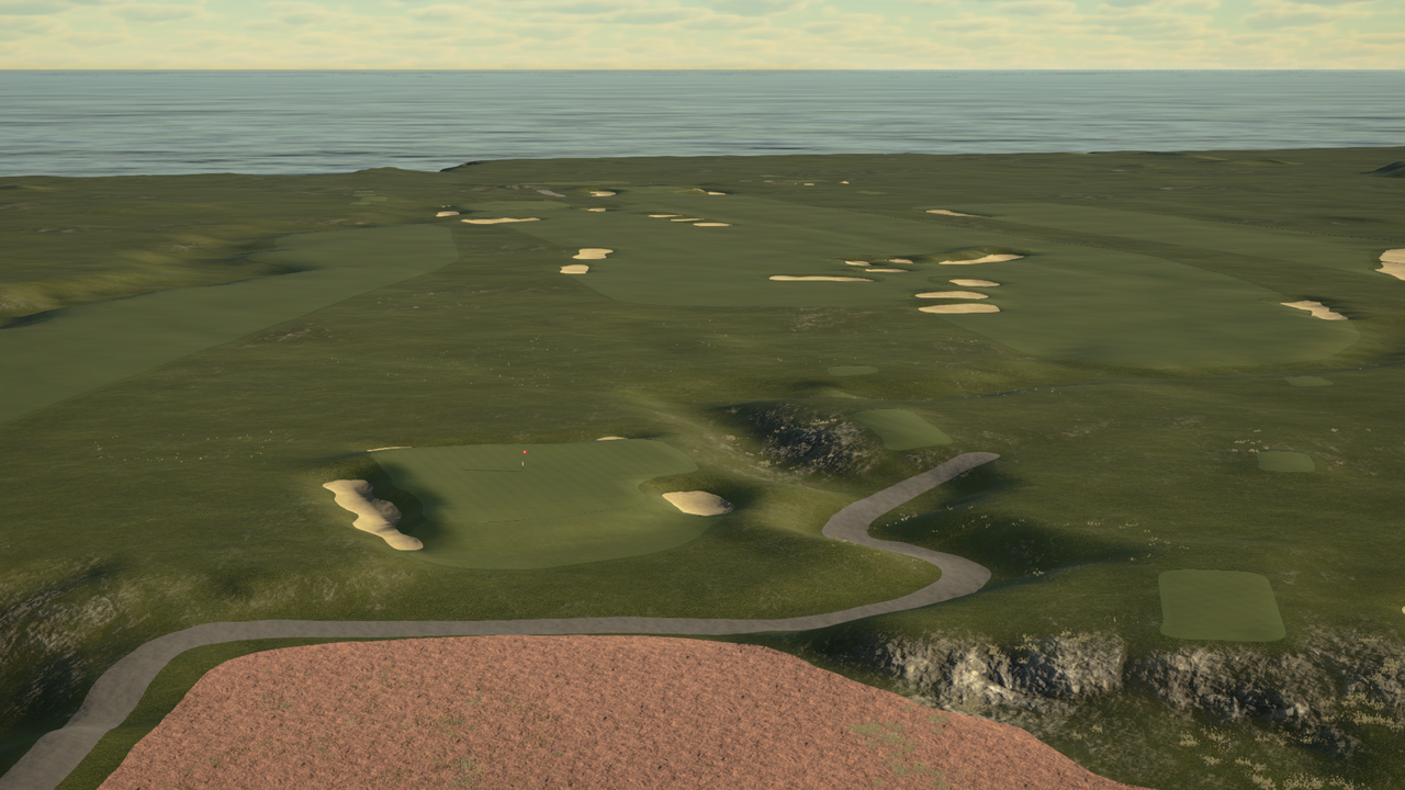 Paging joegolferg |
|
|
|
Post by mcbogga on Mar 8, 2019 14:20:56 GMT -5
Question for you designers out there And Chad if this is not the proper place for this I apologize ahead of time When I imported the lidar and course file into the game I began looking at the greens and testing the "roll" of them Whilst the program really captures the elevation of the green slopes what are your thoughts or your process to smooth somewhat to remove the dreaded "Yellow and Red lines" if applicable? Or since its pulling directly from Lidar, do you leave the greens alone in hopes that you do not disturb the elevation work that is present... Any tips or thoughts of how to accomplish a proper smooth, if needed, is appreciated ahead of time Terry This is a big issue at Pasatiempo, there's just way too much slope on those greens for the game to accept. My plan is to identify various sections of the greens which appear to be the "playable" areas (to the best of my ability), cross-reference whatever references I can find online about the greens as I would if I were building this without LIDAR, and then lightly smooth/raise/lower to get rid of the yellow/red in those areas. The goal is to have them playable (at medium speed, mind you) while still maintaining the integrity of the sculpting profile. Really Looking forward to Pasa! |
|
|
|
Post by joegolferg on Mar 8, 2019 14:28:49 GMT -5
Shoreacres The OSM is post-renovation and the lidar is pre-renovation, so some of the fairway edges, green edges, and bunkers need some TLC. It's nothing too difficult though. This course is filthy. I'm willing to part with this one if there are any Seth Raynor devotees on PC willing to give the course the love it deserves. Otherwise I'll get to it down the line.     Paging joegolfergAppreciate the tag, Job. Unfortunately I'm only on PS4 and have no desire to buy gaming level PC anytime soon. |
|
|
|
Post by PithyDoctorG on Mar 8, 2019 14:50:26 GMT -5
There's gonna be a LOT of work to get this one right. I know there's interior bodies of water to add, plus shoreline and surroundings will need work. But I know joegolferg and PithyDoctorG will appreciate. 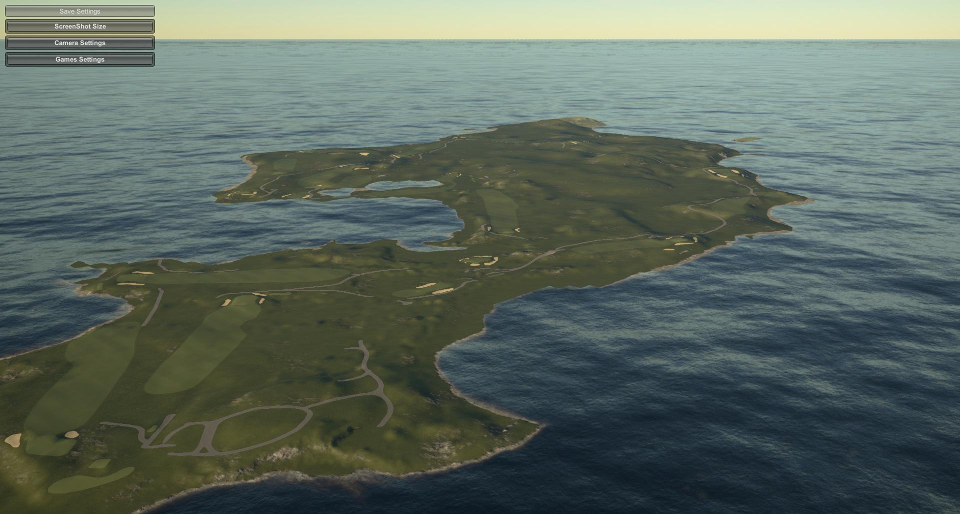 Redan #2: 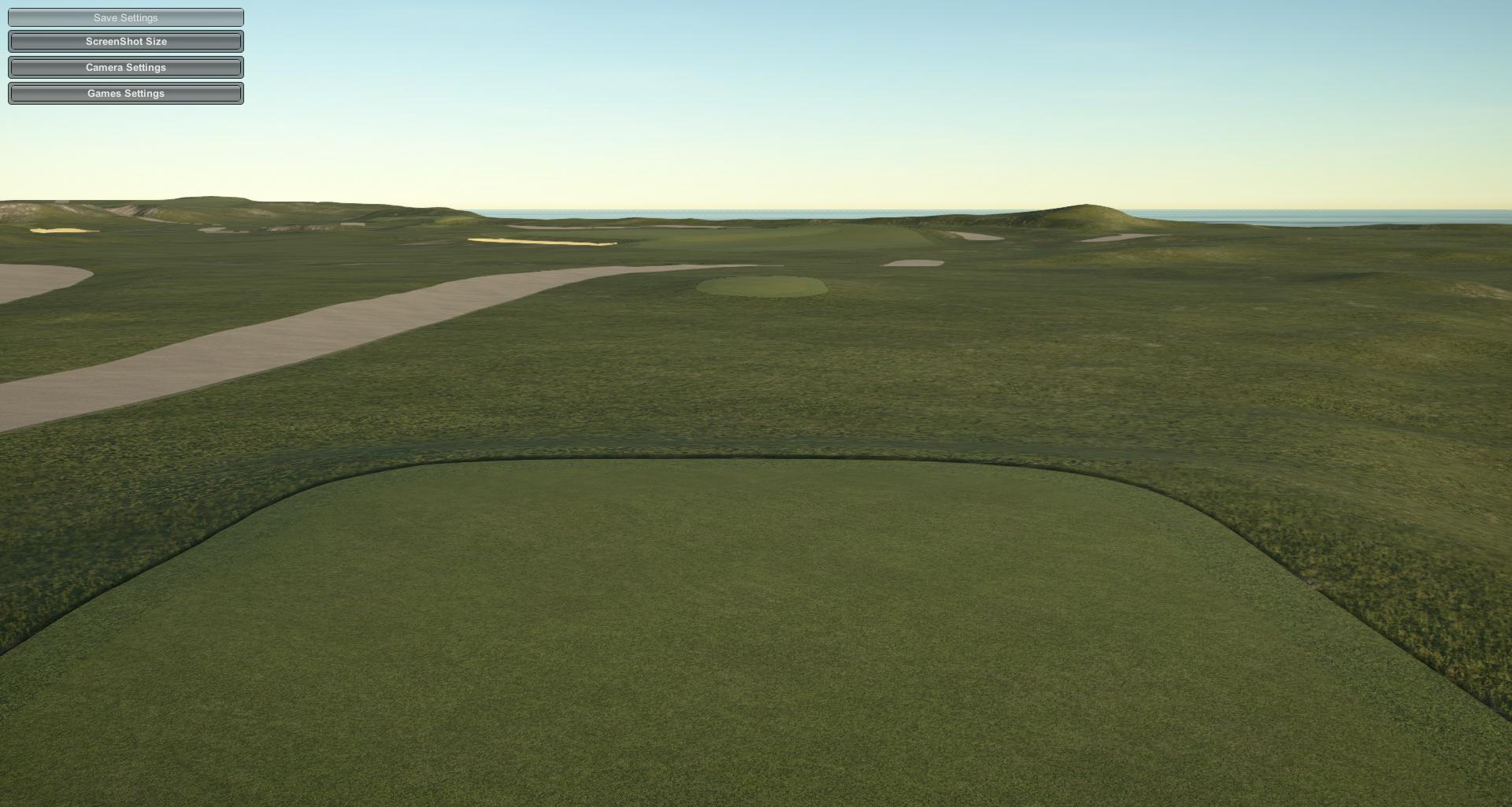 Plateau #3: 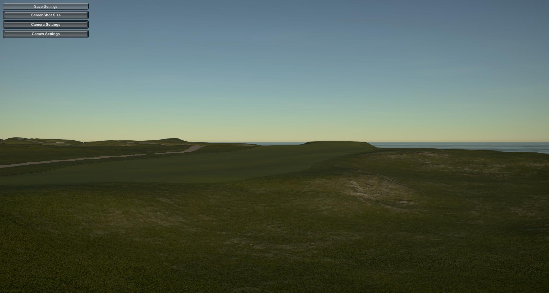 Alps/Punchbowl #4: 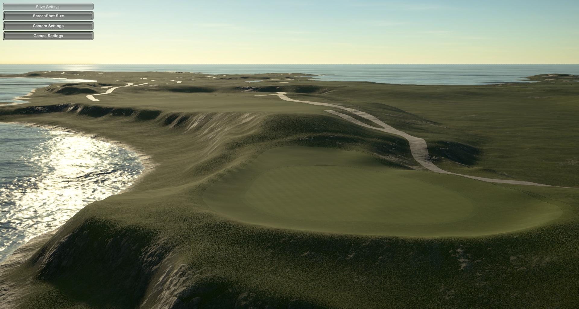 Biarritz #5: 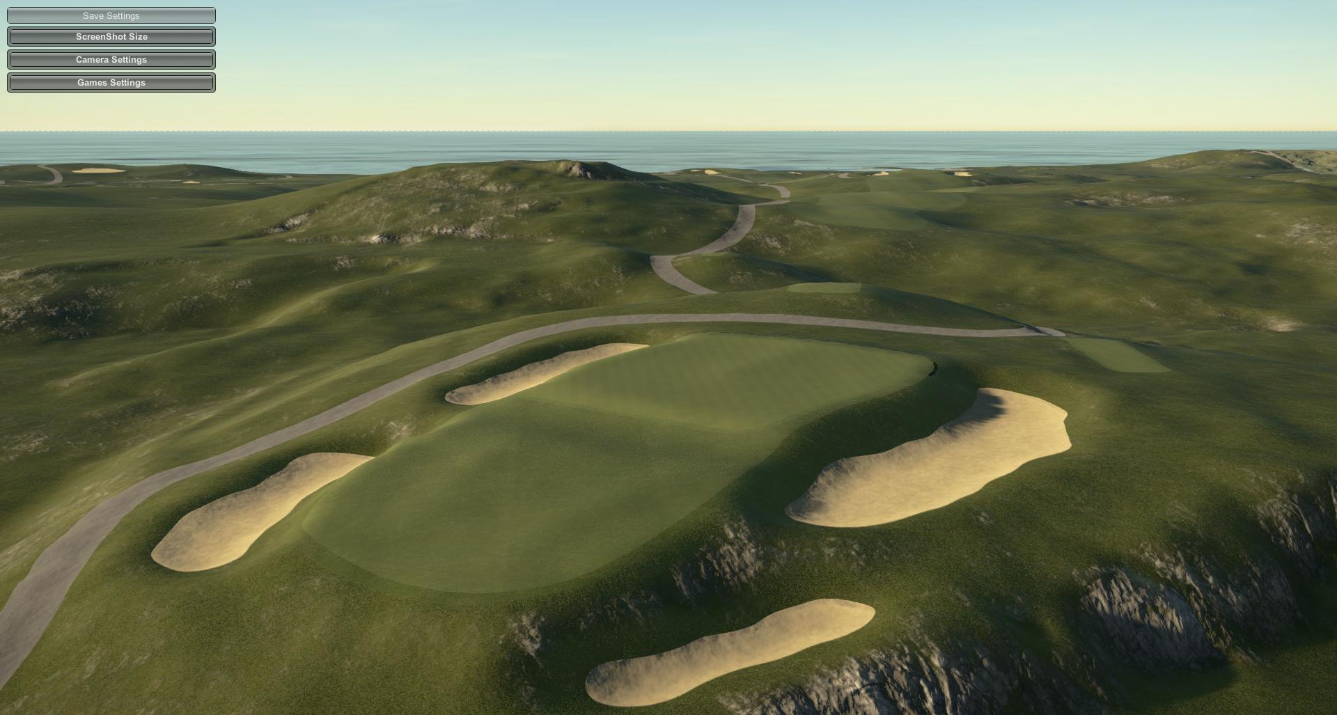 VERY glad to see this one in capable hands. #4 and #5 served as seeds of inspiration for 16 and 17 at Shelter Island. |
|
|
|
Post by mcbogga on Mar 8, 2019 17:07:10 GMT -5
 This is filthy! The game does not deserve this.... |
|
|
|
Post by Doyley on Mar 8, 2019 19:58:04 GMT -5
|
|
|
|
Post by jwfickett on Mar 8, 2019 20:06:02 GMT -5
Doyley, any chance you can put these blank canvases you are making in a thread where people can see what tracks are available and claim them so we will know who is working on what? maybe a google sheet?
|
|
|
|
Post by jivesinator on Mar 8, 2019 20:42:15 GMT -5
Doyley, any chance you can put these blank canvases you are making in a thread where people can see what tracks are available and claim them so we will know who is working on what? maybe a google sheet? spoiler alert: i’ve already got a Cabot |
|
|
|
Post by catcherman22 on Mar 8, 2019 21:07:45 GMT -5
Doyley, any chance you can put these blank canvases you are making in a thread where people can see what tracks are available and claim them so we will know who is working on what? maybe a google sheet? Doyley doesn't know anything about google sheets... sorry |
|
|
|
Post by Doyley on Mar 8, 2019 21:09:49 GMT -5
Doyley, any chance you can put these blank canvases you are making in a thread where people can see what tracks are available and claim them so we will know who is working on what? maybe a google sheet? Yea for sure - Probably something I can do Sunday night from work - want to do a LiDAR sheet so people here can claim courses they are working on so we don't unnecessarily double up. As for my tracks - Jives claimed Cabot Links. I have Sand Hills GC (w/ OSM) and Cabot Cliffs (no OSM) ready to hand off. |
|
|
|
Post by theclv24 on Mar 8, 2019 21:30:57 GMT -5
Doyley, any chance you can put these blank canvases you are making in a thread where people can see what tracks are available and claim them so we will know who is working on what? maybe a google sheet? Yea for sure - Probably something I can do Sunday night from work - want to do a LiDAR sheet so people here can claim courses they are working on so we don't unnecessarily double up. As for my tracks - Jives claimed Cabot Links. I have Sand Hills GC (w/ OSM) and Cabot Cliffs (no OSM) ready to hand off. I think for matching purposes the OSM and lidar should be imported at the same time, so you will likely want to either pass over the lidar files for Cabot too, or wait until an import is done with OSM before passing it on. |
|
|
|
Post by jivesinator on Mar 8, 2019 21:31:33 GMT -5
Doyley, any chance you can put these blank canvases you are making in a thread where people can see what tracks are available and claim them so we will know who is working on what? maybe a google sheet? Yea for sure - Probably something I can do Sunday night from work - want to do a LiDAR sheet so people here can claim courses they are working on so we don't unnecessarily double up. As for my tracks - Jives claimed Cabot Links. I have Sand Hills GC (w/ OSM) and Cabot Cliffs (no OSM) ready to hand off. Didn't Canuck say he wanted Cabot Cliffs? |
|
|
|
Post by jivesinator on Mar 8, 2019 21:32:42 GMT -5
Yea for sure - Probably something I can do Sunday night from work - want to do a LiDAR sheet so people here can claim courses they are working on so we don't unnecessarily double up. As for my tracks - Jives claimed Cabot Links. I have Sand Hills GC (w/ OSM) and Cabot Cliffs (no OSM) ready to hand off. I think for matching purposes the OSM and lidar should be imported at the same time, so you will likely want to either pass over the lidar files for Cabot too, or wait until an import is done with OSM before passing it on. Doyley sent me the course file he made as well as the LiDAR, I'll be working starting tomorrow on the OSM. |
|