|
|
Post by lessangster on Mar 4, 2019 4:08:31 GMT -5
Can anyone see how much fun it brings to the editor being able to use Lidar data for your course. It means anyone with even a little bit of talent could bring their local course to life in the game which is something I think,any of us would like to do. HB you need to find some way of bringing it to the consoles or at least allowing a terrain file to be sent to them.
|
|
|
|
Post by lessangster on Mar 4, 2019 5:30:55 GMT -5
How about if HB created a place on the server for terrain files to be uploaded then people on console could download the terrain file into the editor and create their local course, having the terrain correct would be a great start
|
|
|
|
Post by theclv24 on Mar 4, 2019 10:19:44 GMT -5
can you tell I'm having fun?? Cabot Links (just up the road from Cabot Cliffs - can see it in the distance)   Sorry no OSM data - just importing terrain to see what it looks like! I can see that Crazycanuck1985 already staked a claim on Cabot Cliffs so I'll claim this one. I'd love the challenge of making an RCR and the movement on that terrain is gorgeous enough that I could easily just build a different course on it. How great is it that we've gone from "I wish someone would create Cabot Cliffs" to "I was going to do Cabot Cliffs but I see someone is already doing it"? An embarrassment of riches. |
|
|
|
Post by theclv24 on Mar 4, 2019 11:21:26 GMT -5
Probably somewhere in the 3 or 4 slot on my list of projects to do, here's a shot of the crest running through the middle of the University of Michigan Golf Course. When finished, hopefully this angle will also give you a glimpse of the Big House in the distance:  The follow-up project to this will be to take UMGC's neighbor, Ann Arbor Golf and Outing, and try to make it more known for its golf than its tailgating. It's a difficult little plot on the side of a hill, but I'm hoping I can find a good routing, and then design it using the UMGC and Crystal Downs models to give it a MacKenzie and Maxwell feel: 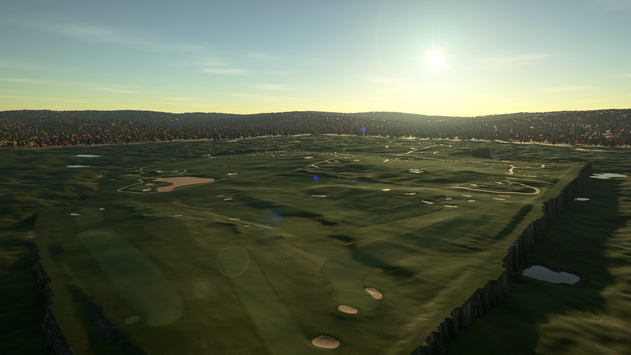 |
|
|
|
Post by Terry Grayson on Mar 4, 2019 15:33:28 GMT -5
Question for you designers out there
And Chad if this is not the proper place for this I apologize ahead of time
When I imported the lidar and course file into the game I began looking at the greens and testing the "roll" of them
Whilst the program really captures the elevation of the green slopes what are your thoughts or your process to smooth somewhat to remove the
dreaded "Yellow and Red lines" if applicable?
Or since its pulling directly from Lidar, do you leave the greens alone in hopes that you do not disturb the elevation work that is present...
Any tips or thoughts of how to accomplish a proper smooth, if needed, is appreciated ahead of time
Terry
|
|
|
|
Post by mcbogga on Mar 4, 2019 16:59:51 GMT -5
Question for you designers out there And Chad if this is not the proper place for this I apologize ahead of time When I imported the lidar and course file into the game I began looking at the greens and testing the "roll" of them Whilst the program really captures the elevation of the green slopes what are your thoughts or your process to smooth somewhat to remove the dreaded "Yellow and Red lines" if applicable? Or since its pulling directly from Lidar, do you leave the greens alone in hopes that you do not disturb the elevation work that is present... Any tips or thoughts of how to accomplish a proper smooth, if needed, is appreciated ahead of time Terry Real greens have plenty of yellow and red slopes.... |
|
|
|
Post by PithyDoctorG on Mar 4, 2019 17:00:36 GMT -5
Question for you designers out there And Chad if this is not the proper place for this I apologize ahead of time When I imported the lidar and course file into the game I began looking at the greens and testing the "roll" of them Whilst the program really captures the elevation of the green slopes what are your thoughts or your process to smooth somewhat to remove the dreaded "Yellow and Red lines" if applicable? Or since its pulling directly from Lidar, do you leave the greens alone in hopes that you do not disturb the elevation work that is present... Any tips or thoughts of how to accomplish a proper smooth, if needed, is appreciated ahead of time Terry I think it's your call, Terry. If you don't think the greens are playable as is then you can either slow them down to take out some of the yellow/red that way or soften the slopes. I think as long as the course PLAYS like the real one, you can still call it an RCR (or pretty darn close; after all, video game golf and real golf aren't the same). If somebody cries foul at you calling it an RCR then you can refund their money  |
|
|
|
Post by theclv24 on Mar 4, 2019 17:27:28 GMT -5
Shoreacres The OSM is post-renovation and the lidar is pre-renovation, so some of the fairway edges, green edges, and bunkers need some TLC. It's nothing too difficult though. This course is filthy. I'm willing to part with this one if there are any Seth Raynor devotees on PC willing to give the course the love it deserves. Otherwise I'll get to it down the line. 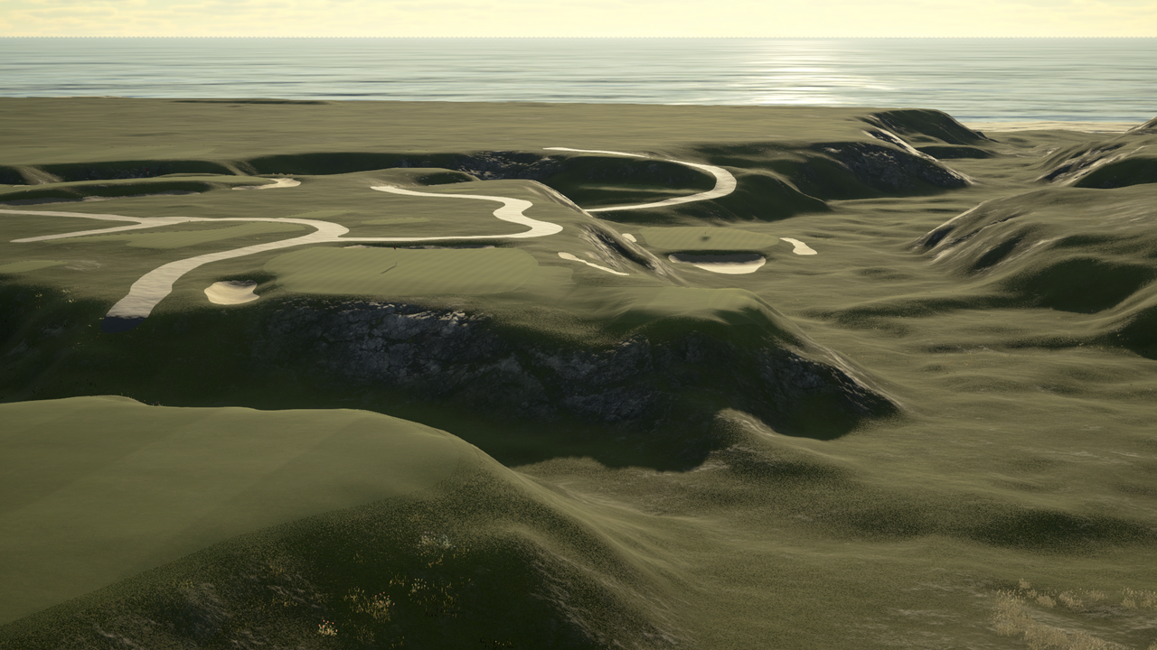  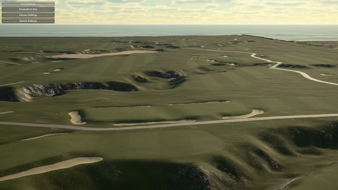 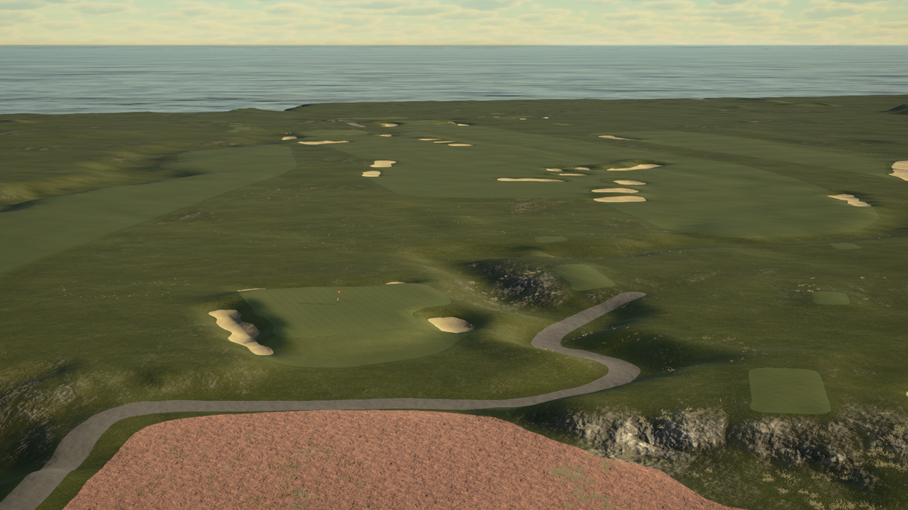 |
|
|
|
Post by jwtexan on Mar 7, 2019 17:39:35 GMT -5
I am so excited to see all the courses that this leads to, not just RCRs either. Wow.
I’m such a golf dork that a lot of times I’ll be walking somewhere, or drive by something every day and think “a golf course there would be great.” Now, with this tool you PC people can literally make this happen.
Just sad I can't participate in the design on Xbox.
|
|
|
|
Post by gamesdecent on Mar 7, 2019 19:33:57 GMT -5
There's gonna be a LOT of work to get this one right. I know there's interior bodies of water to add, plus shoreline and surroundings will need work. But I know joegolferg and PithyDoctorG will appreciate. 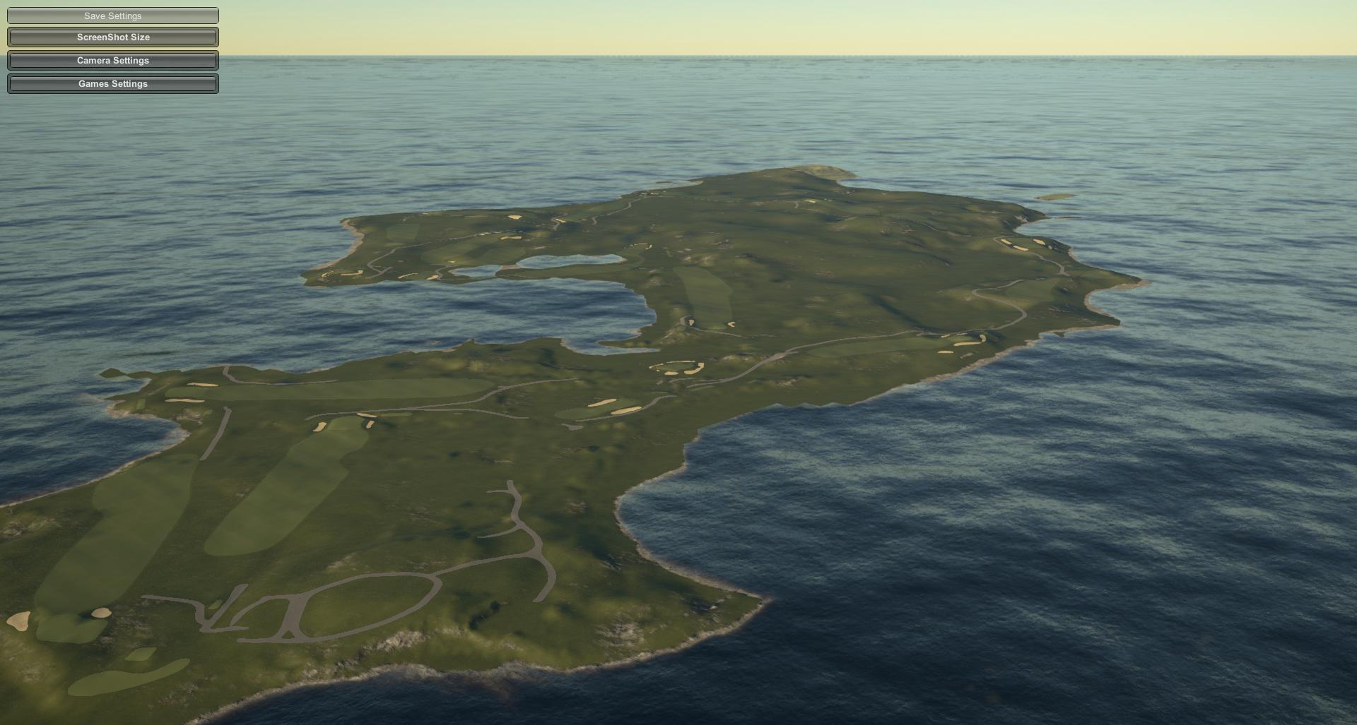 Redan #2: 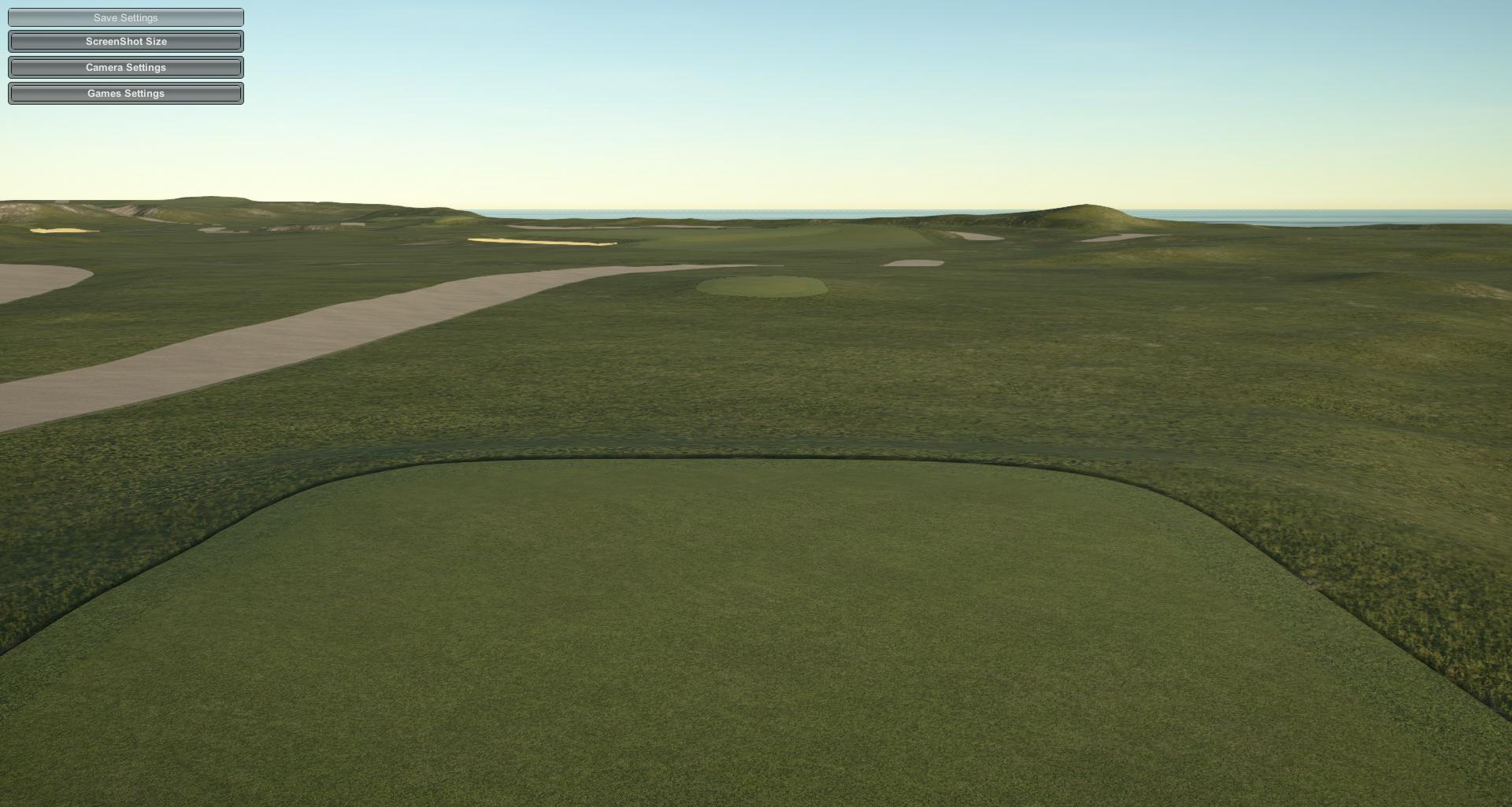 Plateau #3: 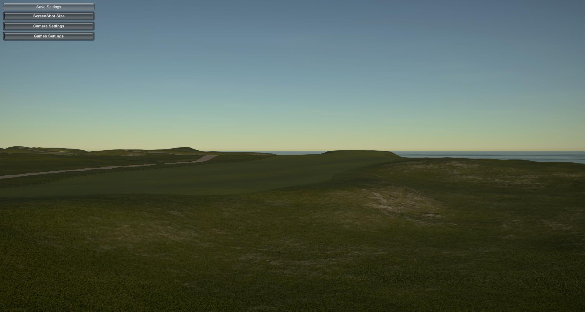 Alps/Punchbowl #4: 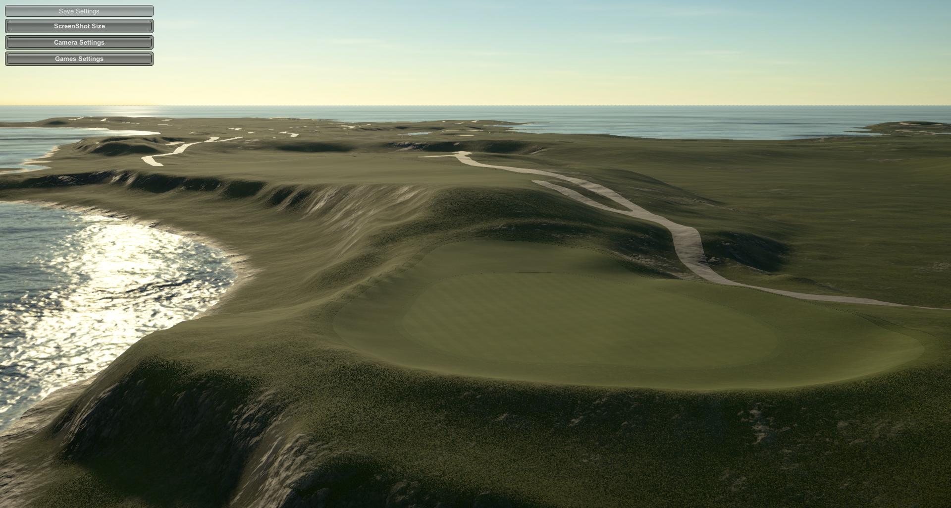 Biarritz #5: 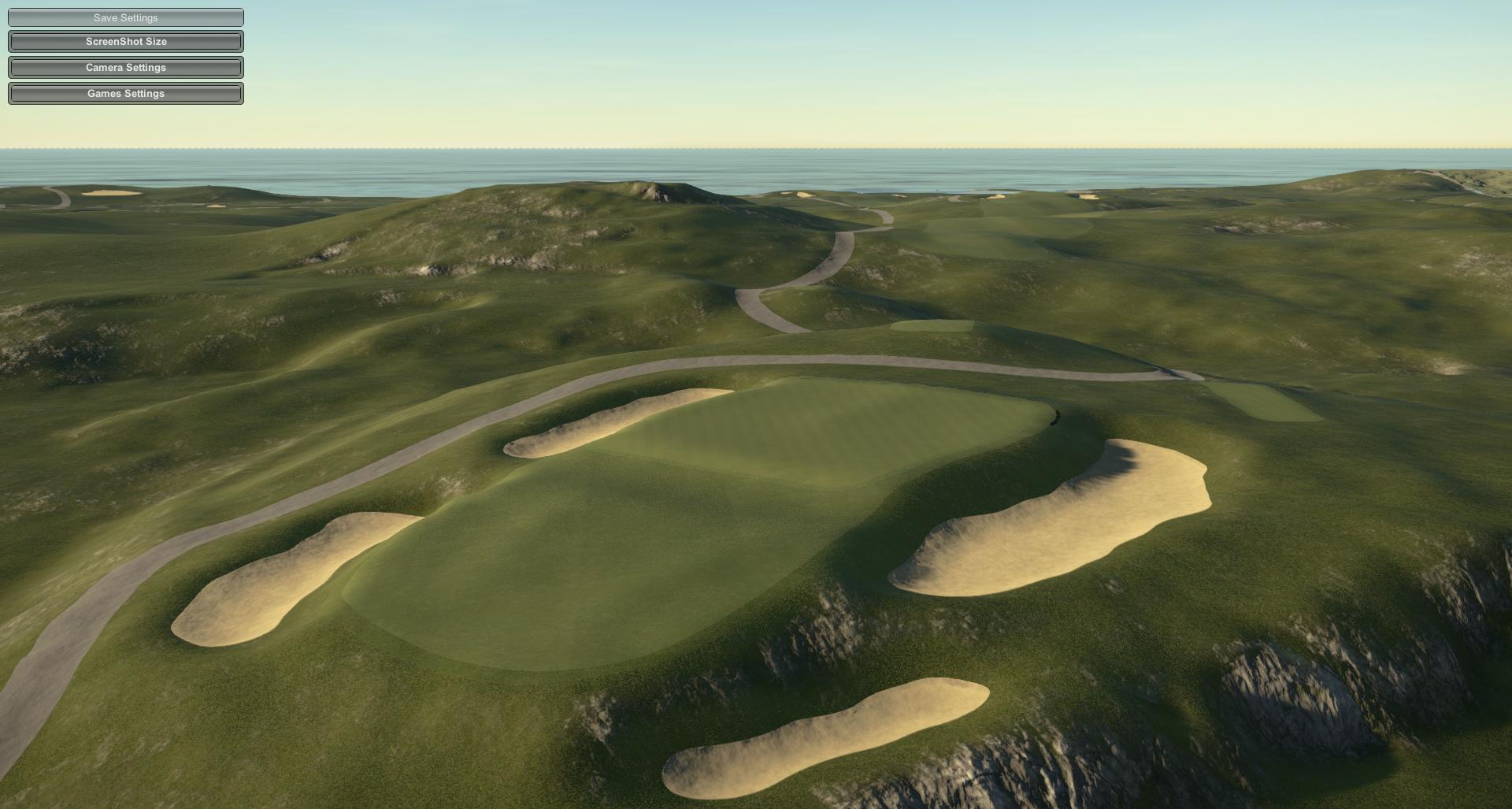 |
|
|
|
Post by theclv24 on Mar 7, 2019 19:51:09 GMT -5
Alps/Punchbowl #4:  Shut up! |
|
|
|
Post by gamesdecent on Mar 7, 2019 20:18:55 GMT -5
|
|
|
|
Post by joegolferg on Mar 8, 2019 3:39:19 GMT -5
There's gonna be a LOT of work to get this one right. I know there's interior bodies of water to add, plus shoreline and surroundings will need work. But I know joegolferg and PithyDoctorG will appreciate.  Redan #2:  Plateau #3:  Alps/Punchbowl #4:  Biarritz #5:  I might just shed a tear... The LIDAR tool seems to be getting the terrain spot on judging by those pictures. Does it add any surfaces or is that all done by the designer? Regarding the second course at Fisher's that we spoke of, I spent a while searching the quiet corners of the web hoping to come up with the routing that Bahto said he had, but haven't been able to find it thus far. I did find a post by Bahto himself on GCA that stated that he intended to release the information, so maybe it's hidden away somewhere online. I'll keep looking. But with that said, I think you have to stick with an RCR of Fisher's Island after the results of the LIDAR. The Alps, Plateau, Latimer and Eden at Fisher's are definitely the most scenic of the bunch, very much looking forward to seeing the Eden once you'ave done a bit on the hole. Here's some high quality footage of Fisher's, hole by hole, to help you with detailing and bunkering. |
|
|
|
Post by B.Smooth13 on Mar 8, 2019 8:29:52 GMT -5
Question for you designers out there And Chad if this is not the proper place for this I apologize ahead of time When I imported the lidar and course file into the game I began looking at the greens and testing the "roll" of them Whilst the program really captures the elevation of the green slopes what are your thoughts or your process to smooth somewhat to remove the dreaded "Yellow and Red lines" if applicable? Or since its pulling directly from Lidar, do you leave the greens alone in hopes that you do not disturb the elevation work that is present... Any tips or thoughts of how to accomplish a proper smooth, if needed, is appreciated ahead of time Terry This is a big issue at Pasatiempo, there's just way too much slope on those greens for the game to accept. My plan is to identify various sections of the greens which appear to be the "playable" areas (to the best of my ability), cross-reference whatever references I can find online about the greens as I would if I were building this without LIDAR, and then lightly smooth/raise/lower to get rid of the yellow/red in those areas. The goal is to have them playable (at medium speed, mind you) while still maintaining the integrity of the sculpting profile. |
|
|
|
Post by gamesdecent on Mar 8, 2019 8:35:36 GMT -5
Question for you designers out there And Chad if this is not the proper place for this I apologize ahead of time When I imported the lidar and course file into the game I began looking at the greens and testing the "roll" of them Whilst the program really captures the elevation of the green slopes what are your thoughts or your process to smooth somewhat to remove the dreaded "Yellow and Red lines" if applicable? Or since its pulling directly from Lidar, do you leave the greens alone in hopes that you do not disturb the elevation work that is present... Any tips or thoughts of how to accomplish a proper smooth, if needed, is appreciated ahead of time Terry This is a big issue at Pasatiempo, there's just way too much slope on those greens for the game to accept. My plan is to identify various sections of the greens which appear to be the "playable" areas (to the best of my ability), cross-reference whatever references I can find online about the greens as I would if I were building this without LIDAR, and then lightly smooth/raise/lower to get rid of the yellow/red in those areas. The goal is to have them playable (at medium speed, mind you) while still maintaining the integrity of the sculpting profile. Was this before or after the scale was corrected? Weren't your elevations originally like two or three times multiplied or something like that? |
|