|
|
Post by rod81simo on Mar 2, 2019 23:13:30 GMT -5
Is there any sites for Australia that anyone is aware of? I might have just went and got me a PC off the back of this groundbreaking development, hats off to you chadgolf |
|
|
|
Post by mcbogga on Mar 3, 2019 3:09:56 GMT -5
|
|
|
|
Post by coggin66 on Mar 4, 2019 16:34:29 GMT -5
|
|
|
|
Post by lotsbg on Aug 6, 2020 23:54:36 GMT -5
it looks like that data is the way to go, however, any hints on how to use it? I downloaded some files for St. Andrews beach golf course, but seems like it is different to the American Lidar files.
|
|
|
|
Post by sandsaver01 on Aug 7, 2020 8:03:57 GMT -5
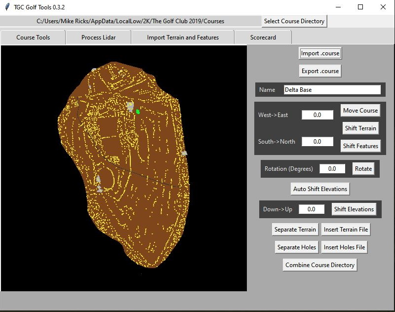
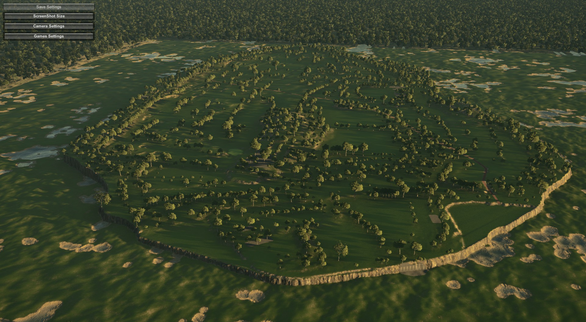
it looks like that data is the way to go, however, any hints on how to use it? I downloaded some files for St. Andrews beach golf course, but seems like it is different to the American Lidar files. Being a nice guy, I picked out a course near Sydney (The Royal Sydney Golf Club) and went through the Chadgolf process using ELVIS as from the link above. You have to follow the instructions on the link, and make sure you check the "point cloud" box and not the "DEM" box. I drew a box around the course and four files were available, so I selected them. You put in your intended use (I checked Recreation) and your E-mail and they mail you a link. When I got that I down loaded the Zip files and unzipped them(twice, the ELVIS site zips them and the data is already zipped). Then I used Chad's tool as per usual and it all seemed to go smoothly in this case, no problem with EPSG or anything. Someone had drawn in a green on OSM already. After masking the plot generated I was left with this:  I went ahead with the process and opened the course file in the game, it looked like this:  I hope this helps. I may have just gotten lucky with this course with the EPSG and file compatibility, but I have no way of knowing that. Good Luck. |
|
|
|
Post by Heisenberg on Aug 7, 2020 17:20:29 GMT -5
It’s the point cloud data that you need and there is currently none for Victoria. There is the required data for all of NSW and parts of QLD however I haven’t checked the other states. All the data you need can be downloaded exactly as Sandsaver did from the ELVIS website (trace your course with OSM first) so there’s plenty of great courses that you could do but unfortunately none where the best courses are - Melbourne 😐. There’s also a lidar course claimer thread in here so you don’t double up on courses under construction. Hope that helps.
|
|
|
|
Post by yuppatron on Aug 14, 2020 6:36:25 GMT -5
It’s the point cloud data that you need and there is currently none for Victoria. There is the required data for all of NSW and parts of QLD however I haven’t checked the other states. All the data you need can be downloaded exactly as Sandsaver did from the ELVIS website (trace your course with OSM first) so there’s plenty of great courses that you could do but unfortunately none where the best courses are - Melbourne 😐. There’s also a lidar course claimer thread in here so you don’t double up on courses under construction. Hope that helps. Made any progress on sourcing LIDAR for Melbourne? There was a Greater Melb LIDAR project conducted in 2017/18 but it's not freely available. I've reached out to a few geo companies to see what it will cost. |
|
|
|
Post by Heisenberg on Aug 14, 2020 17:34:59 GMT -5
No. Tbh I just used Elvis and tried to look for any other free open source sites. If you have any luck yourself, please let us know.
|
|
|
|
Post by yuppatron on Aug 16, 2020 22:20:55 GMT -5
No. Tbh I just used Elvis and tried to look for any other free open source sites. If you have any luck yourself, please let us know. I reached out to a couple of geospatial companies in Melbourne to ask. One of them can sell las files for a course for a few hundred $. Interesting that the data they are selling is from a govt lidar project of greater Melbourne done in 2017/2018. Not freely available. I am still weighing up whether to pull the trigger. |
|
|
|
Post by Heisenberg on Aug 16, 2020 22:29:41 GMT -5
No. Tbh I just used Elvis and tried to look for any other free open source sites. If you have any luck yourself, please let us know. I reached out to a couple of geospatial companies in Melbourne to ask. One of them can sell las files for a course for a few hundred $. Interesting that the data they are selling is from a govt lidar project of greater Melbourne done in 2017/2018. Not freely available. I am still weighing up whether to pull the trigger. Honestly, while lidar makes it much easier and more accurate, it's not extremely difficult to do an accurate job just using OSM and Google Earth Pro especially if the course you're doing has lots of hole by hole images and flyovers. It's definintely more work but the final result wouldn't be that much difference if you take real care with the OSM tracing and elevation measurements. The upside to not using lidar is that you can use much more of your object meter on a non lidar course. The main negative to not having the lidar is the accuracy of the greens IMO. That's just what I've found anyway after doing a course in each method. Others may have different views (?). |
|