|
|
Post by sandsaver01 on Oct 21, 2019 8:44:47 GMT -5
I am starting a new build with three objectives: 1. Use a Lidar terrain plot (no course on it) which looks like it might be a nice place to put a course. In this case it is an area a bit West of Petaluma, CA in the wine country. 2. The course will have no sand bunkers or water on it. 3. I envision the last four holes as being high-risk-high-reward holes for those players who have played the first fourteen poorly and desperately need some eagles or birdies for a good score. This whole effort may be a waste of time, but that is alright with me - hopefully I will learn some things as I go. I am just not "Twitchy" I don't feel comfortable doing it, even though I know that puts me at a disadvantage recognitionwise, but I will post photos of my progress in this Thread. First is a picture of the plot as it is now, with a potential clubhouse location kind of in the center of the buildable area. The line you see is just a bunker spline that defines an area about 100 feet from the lowest point on the Lidar plot. I did not want to have more elevation change than that. The big holes in the plot are lakes in the actual terrain, but I will either use them as quarries or fill them in as things go along.  The next pic is just the plot from a different angle, before I put in the clubhouse. 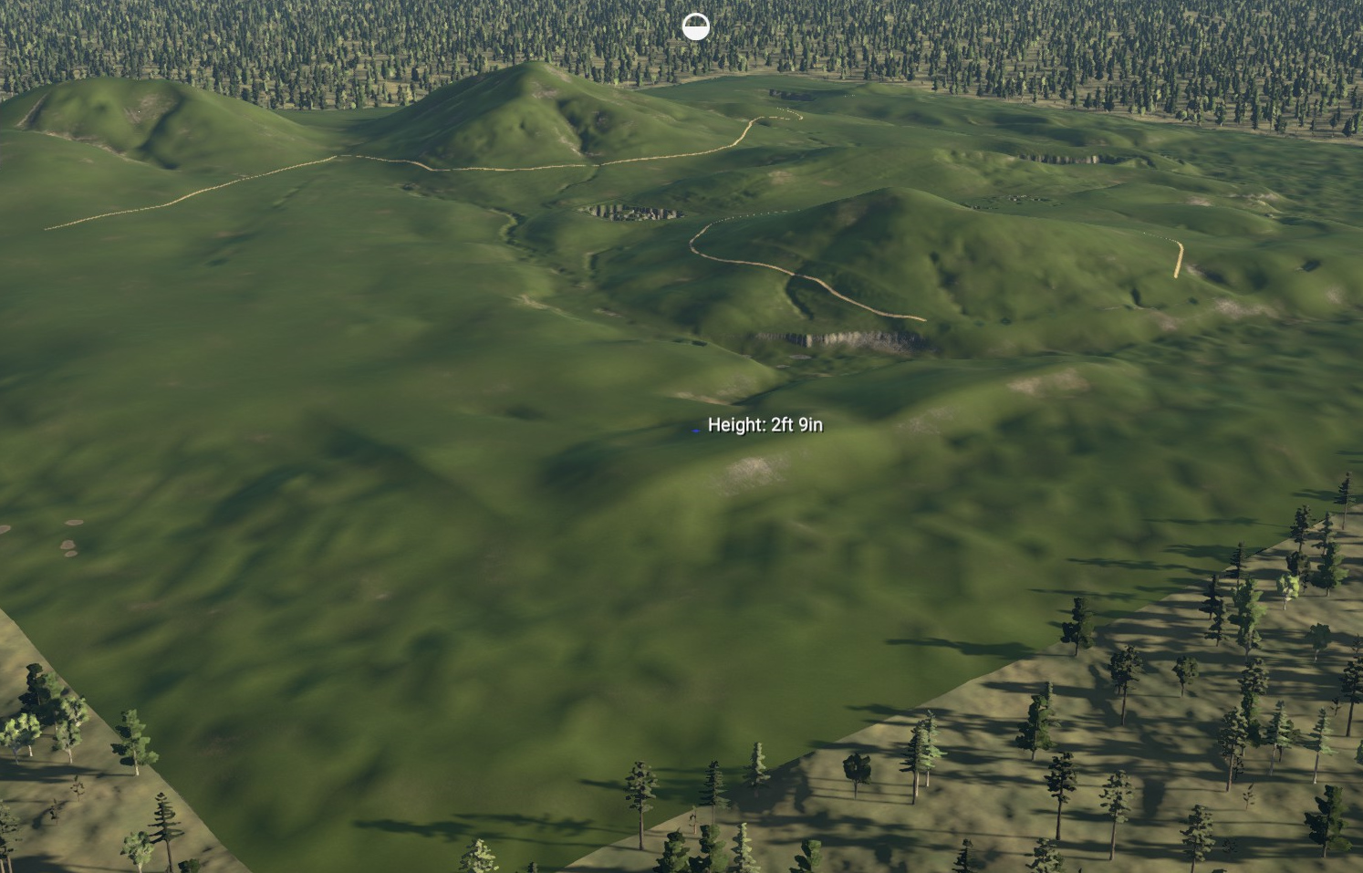 Next step will be to start with holes 15 - 18 as the risk-reward holes. I can then build the first 14. Please feel free to comment with suggestions. |
|
|
|
Post by b101 on Oct 21, 2019 15:01:49 GMT -5
VERY cool plot. Look forward to seeing what you do with this one.
|
|
|
|
Post by 15eicheltower9 on Oct 25, 2019 6:57:38 GMT -5
Thread has been bookmarked.
|
|
|
|
Post by paddyjk19 on Oct 25, 2019 9:29:26 GMT -5
I'm looking to do something similar with some European LiDAR data soon so keeping a keen eye on this one.
Interesting concepts you are thinking of, it's good to do something different - if it doesn't work then who gives a sh1t! nobody achieved brilliance staying in their lane!
Go well!
|
|
|
|
Post by sandsaver01 on Oct 25, 2019 13:06:05 GMT -5
After a couple of false starts which involved too much elevation change, I have now revamped the layout of my "Topo course". I have laid out all 18 holes, trying to use the terrain as a course architect might do IRL, which is not the way I normally do a design, but hey . . . Here are two shots of the layout. You cannot tell a lot from these but it gives you an idea. 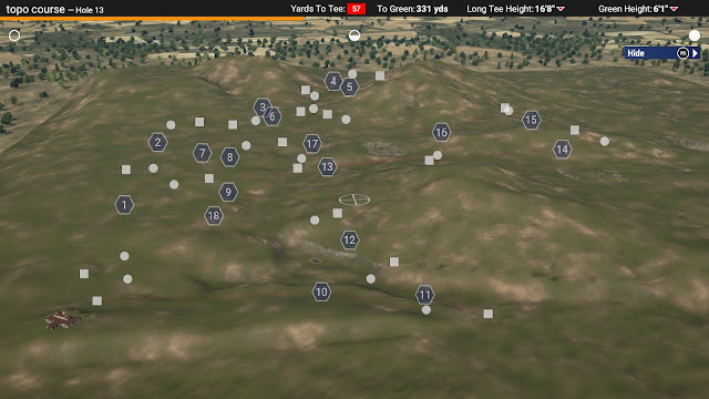 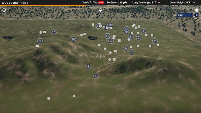 |
|
|
|
Post by 15eicheltower9 on Oct 25, 2019 13:10:01 GMT -5
Where is this actual land?
|
|
|
|
Post by 15eicheltower9 on Oct 25, 2019 13:10:43 GMT -5
And that object meter...
|
|
|
|
Post by paddyjk19 on Oct 25, 2019 13:27:05 GMT -5
Object meter should be ok as long as cpu generates trees are utilised.
In my opinion that’s proper course architecture, looking at the land and trying to see a hole, it’s a surprise I’ve not crashed my car doing the same thing every time I drive somewhere scenic... “gosh that valley would be perfect for a risk, reward.. oh sh%$!!!”
|
|
|
|
Post by sandsaver01 on Oct 26, 2019 6:56:30 GMT -5
Where is this actual land? As I said in the original post, it is West of Petaluma, CA, in the Northern California wine country. I am only slightly worried about the meter for two reasons: When I did Crooked Stick Lidar the meter started at 29% and that course has much more planting, houses, and stuff than I envision here - and it did not max out the meter. I do not plan on putting many trees on this course, as the land as seen from Google Earth does not have many. |
|


